We had a full crew, with Peter, Storheim, Sam and Greg hitting the trail at six am from Morris Meadow. As I popped out of the car I notice Peter was wearing pants while I was wearing shorts. I asked if he was going to run with them when Sam piped in with "no shorts!". It was probably 40 to 45 degrees which was quite a bit warmer than what we have been used to, so shorts it was.
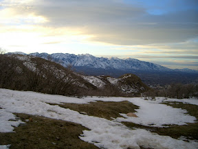
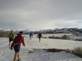
The trail heading off the bench down to City Creek was slightly frozen mud with hard packed snow and ice, typical conditions for most of the day. Just as we were ready to crest the first climb of the day the sun was starting to come up.
The trail heading off the bench down to City Creek was slightly frozen mud with hard packed snow and ice, typical conditions for most of the day. Just as we were ready to crest the first climb of the day the sun was starting to come up.

 |
| From 2008-1-3 Run ... |
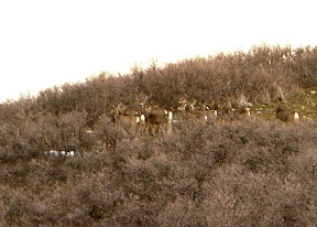
After cresting the climb we spooked a herd of deer. These guys have had a tough winter and the two small bucks that made it through have been rewarded with more than a few does to choose from. We lost Peter shortly after this as he took off in the same direction as the deer...
 |
| From 2008-1-3 Run ... |
 |
| From 2008-1-3 Run ... |
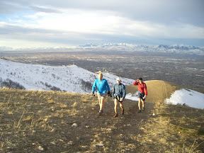
Next we started the descent to the big plateau between Salt Lake City and North Salt Lake city. This piece of land received a bit of press in the last couple of years because the city of North Salt Lake wanted to develop it while (now former) Mayor Rocky Anderson wanted it preserved as open space. I believe that Salt Lake City bought a large portion of it in order to protect it.
 |
| From 2008-1-3 Run ... |
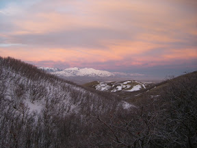
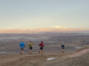
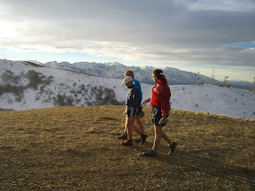
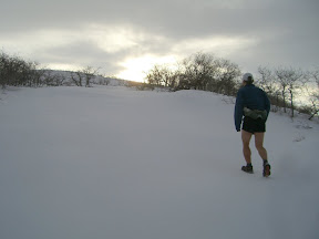
After the flat plateau is one of my favorite parts of the run, a very long sustained climb. The wind was howling but the views were incredible.
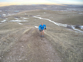
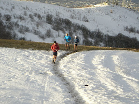
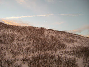
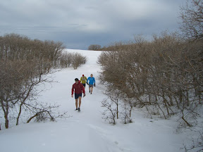
The next section rolls along the ridge, where we started encountering deeper snow. Most of it was still hard enough that it could support us, however we found a few sections that we started post holing.


On this last picture with the view of the Wasatch front you can actually see Mt Nebo, which I can never recall seeing from this vantage point. Follow the long prominent ridge line down from Lone Peak and you can see a shadowy figure of a mountain.
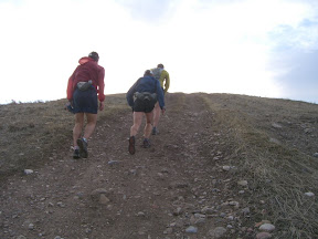
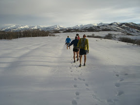
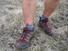
This next descent is one that I've called the "drop" in the past but I think I might start calling it the "quad-buster". We all made it down in piece but left some flesh in the snow above...

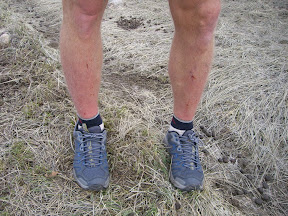
In order Peter, myself, and Storheim.
From here we breezed back to the start, then went and did some bonus miles up on the shoreline. All in all about 15 miles with about 4000' vert, bloody shins, dirty shoes and grins from ear to ear.
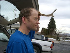
Peter shows off his trophy back in the parking lot.